LULUCF - Land Use, Land Use Change and Forestry
LULUCF (Land Use, Land Use Change, and Forestry)
Project Overview
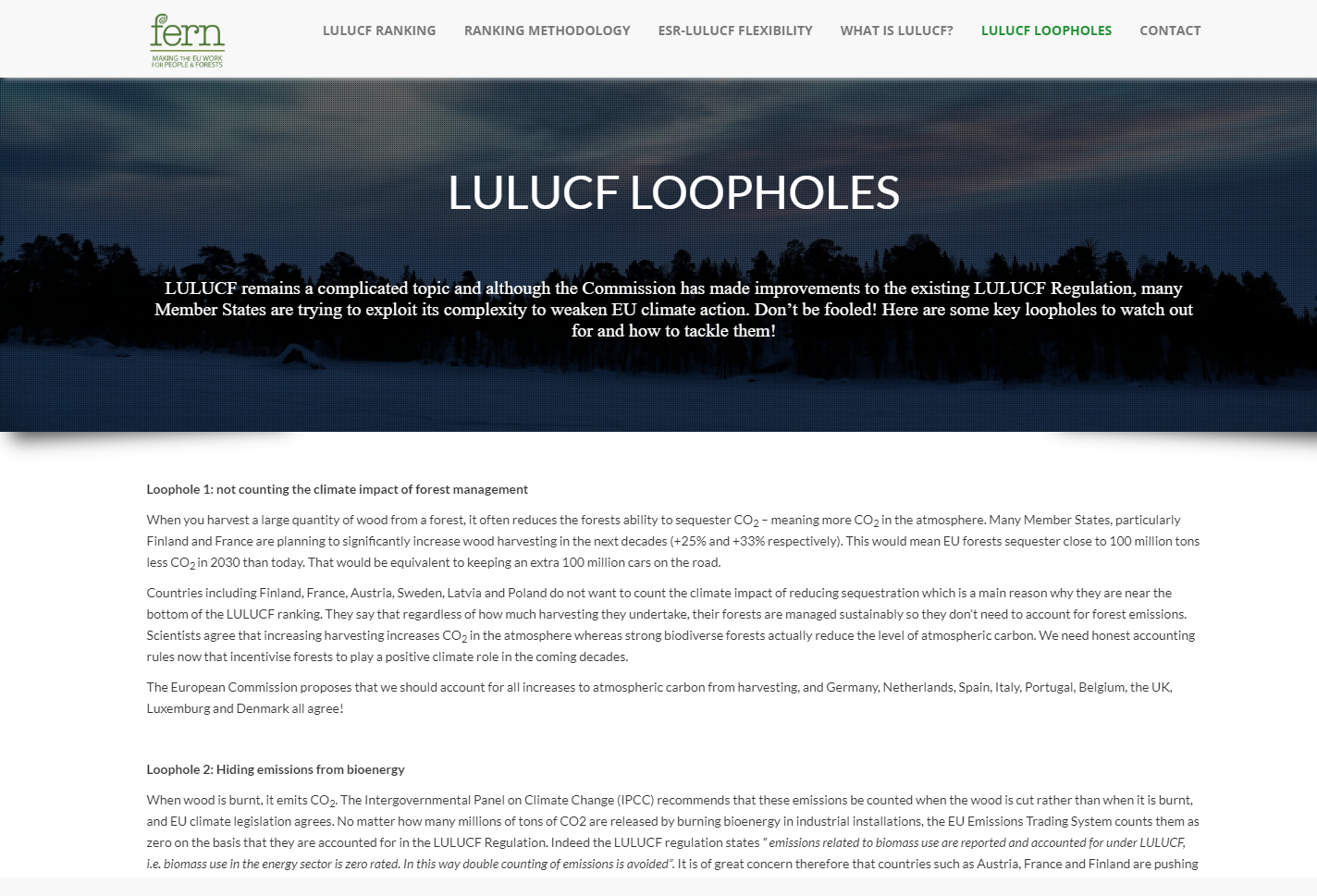
The LULUCF project involved the development of a specialized platform for managing, analyzing, and reporting data related to land use, land-use change, and forestry activities. This system was designed to support environmental policy-making by tracking the impact of these activities on greenhouse gas (GHG) emissions and removals. By facilitating accurate and comprehensive data collection, the platform helps organizations and governments assess the role of land use and forestry in global climate mitigation efforts.
Specifications
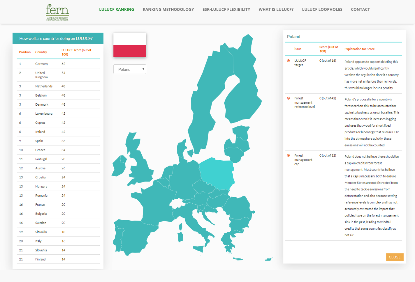
The platform serves as a comprehensive tool for tracking and analyzing land-use practices and their environmental impact. It integrates functionalities for data input, geospatial mapping, emissions modeling, and reporting. Built using advanced technologies such as Python, PostgreSQL, and GIS tools, the system enables users to visualize land use changes and their corresponding carbon emissions or absorption rates. The platform is compliant with international standards for climate reporting, ensuring data reliability and compatibility with global frameworks.
Challenges
A key challenge was managing the complexity and variability of data from diverse sources, including satellite imagery, forestry inventories, and agricultural records. Ensuring the system's ability to process large datasets efficiently while maintaining accuracy was critical. Additionally, the platform needed to align with international standards, including the Intergovernmental Panel on Climate Change (IPCC) guidelines, requiring rigorous attention to detail and scientific accuracy. Another significant challenge was designing user-friendly tools for stakeholders with varying levels of technical expertise.
Our Solution
To address the complexity of data management, we developed robust data processing pipelines capable of handling diverse inputs, including geospatial and temporal datasets. These pipelines were optimized for efficiency and accuracy, enabling real-time processing of large volumes of data. The platform incorporated dynamic visualization tools, allowing users to generate geospatial maps and detailed reports on land-use patterns and their impact on GHG emissions.
We ensured compliance with international standards by closely adhering to IPCC methodologies and conducting extensive testing and validation with domain experts. To make the platform accessible to a wide range of users, we designed intuitive interfaces supported by interactive tutorials and documentation. Advanced reporting capabilities were included, enabling stakeholders to generate actionable insights for policy-making and climate action plans.
The LULUCF project represents a significant step toward empowering organizations to monitor and mitigate climate change through data-driven decision-making. By combining cutting-edge technology with environmental expertise, the platform delivers an invaluable tool for addressing one of the most pressing global challenges.

